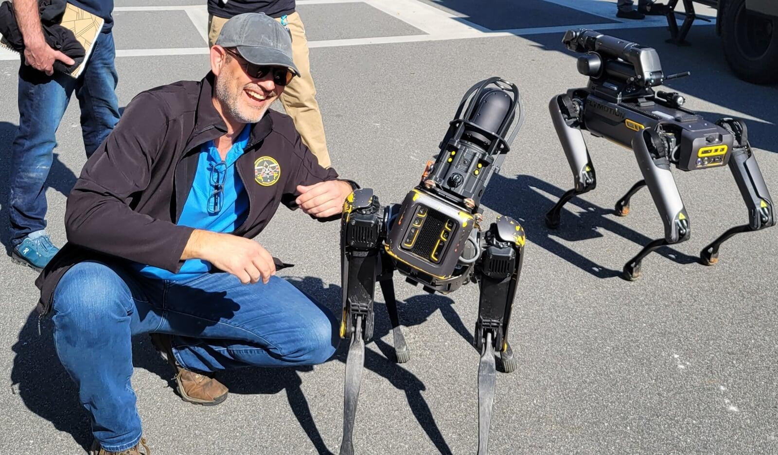
At Serra One, we’ve had the privilege of experiencing the world from a unique perspective. Our team has developed the expertise to capture breathtaking aerial imagery and data that were once only possible through costly or limited-access methods.
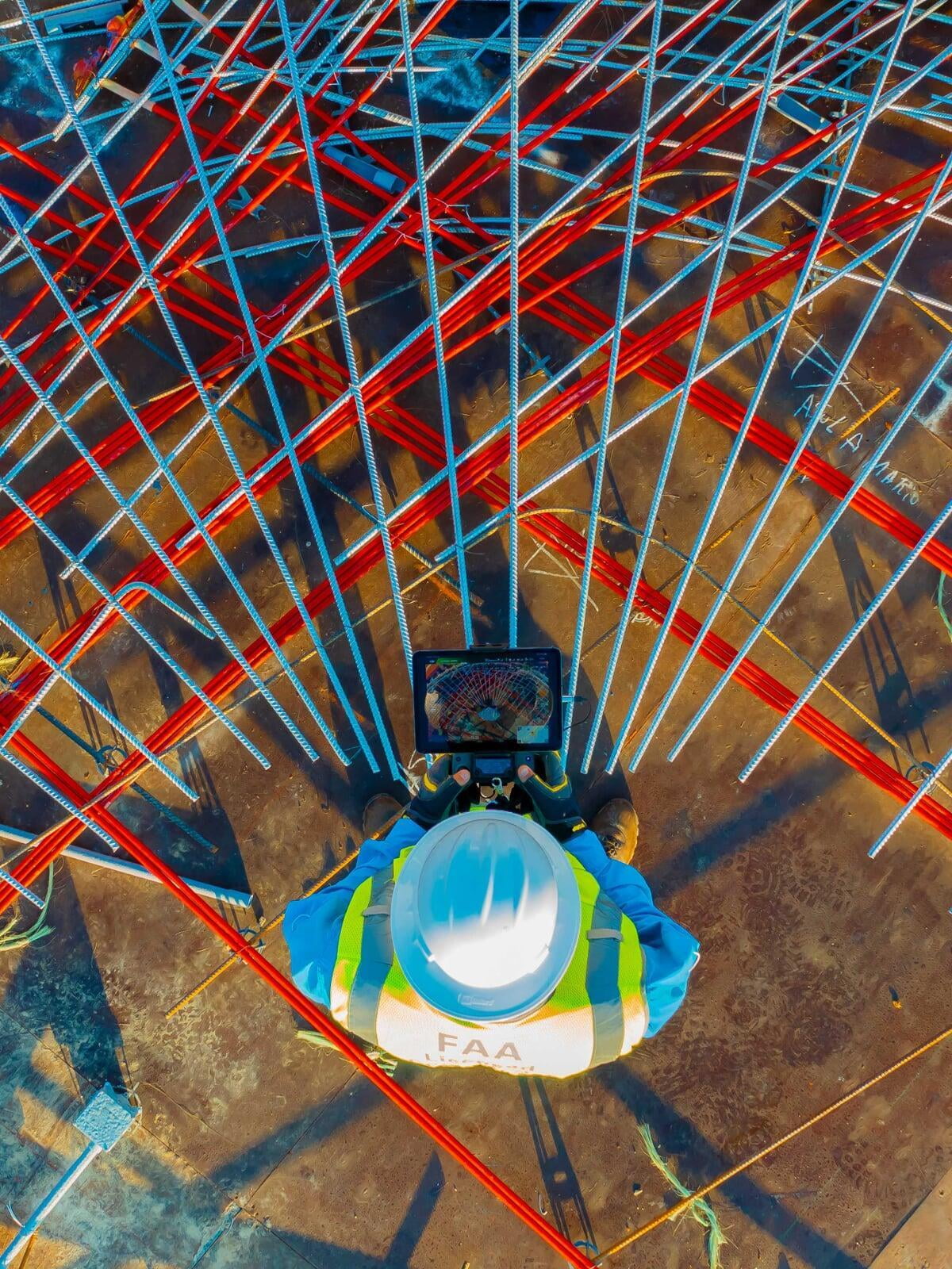
Through advanced drone mapping and ground lidar scans, we provide clients with highly detailed and accurate data for land analysis, construction planning, progress tracking, and agricultural applications. Our aerial mapping solutions help improve decision-making, streamline workflows, and enhance project efficiency.
Our aerial inspection services have become an essential tool for industries requiring safe and efficient access to critical infrastructure, including telecom assets, roofs, and structural systems. Equipped with high-resolution cameras, thermal imaging, and multispectral sensors, our drones capture detailed information from areas that are difficult, costly, or hazardous to inspect manually.
Aerial cinematography and photography also remain a core part of our services, allowing us to deliver stunning visuals and dynamic perspectives for commercial productions, marketing campaigns, events, and television.
In the real estate sector, our aerial photography and video solutions have transformed the way properties are presented. High-quality imagery and cinematic walkthroughs provide a level of visual impact that traditional photography alone cannot achieve, helping properties attract more attention and generate stronger engagement.
What makes this work especially rewarding is the ability to provide clients with solutions that improve safety, efficiency, and the quality of information available to them. We remain committed to innovation, precision, and delivering the highest level of service across every project.
Alejandro Serra
Serra One
Our History
Our vision is to become a leading provider of drone-based aerial imaging solutions for the construction, real estate, and infrastructure industries.
We aim to transform the way businesses operate by leveraging advanced technology to deliver exceptional accuracy, actionable insights, and efficient data solutions. Our goal is to be the trusted partner for organizations seeking innovative, reliable, and technology-driven services that enhance operational efficiency and strengthen their competitive advantage.