
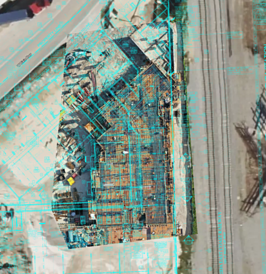

DRONE MAPPING
We understand that construction and infrastructure projects can be complex, which is why we provide drone mapping, progress reporting, digital twin, and verification services designed to help companies manage projects more efficiently.
Using advanced drone technology, we capture high-resolution aerial imagery and accurate site data, giving you a clear and up-to-date view of project progress. Our deliverables help improve planning, streamline communication, verify work completed, and support informed decision-making throughout every stage of construction.

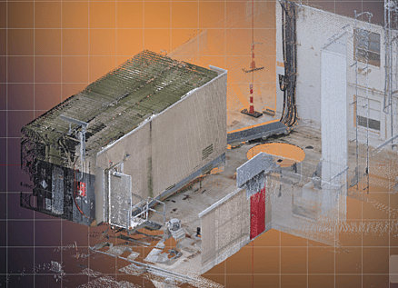
LIDAR SCANS
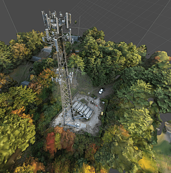

TELECOM and INFRASTRUCTURE

ARCHITECTURE
Aerial data combined with ground-based LiDAR scans creates a comprehensive range of deliverables that integrate seamlessly into your BIM workflow, improving both the quality and turnaround time of your final product.
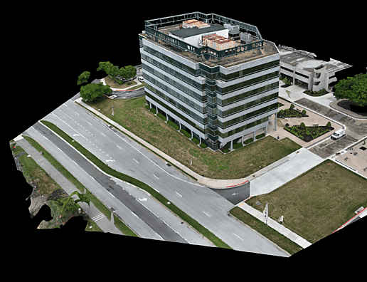
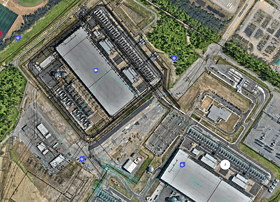

INSFRAESTRUCTURE INSPECTIONS
Gain a complete understanding of your assets with high-precision aerial and terrestrial inspections. Using RTK drones, LiDAR scanners, and advanced reality capture technology, we inspect buildings, bridges, towers, industrial facilities, and critical infrastructure safely and efficiently.
Our inspections deliver detailed imagery, 3D digital twins, point clouds, orthomosaics, and engineering-ready CAD and BIM models, enabling faster decision-making, predictive maintenance, and reduced operational costs—without disrupting normal operations.
Applications include:
- Commercial & Industrial Buildings
- Telecom Towers
- Bridges & Transportation Infrastructure
- Utilities & Energy Facilities
- Construction Quality Control
- Asset Management & Condition Assessments
Deliverables:
- High-resolution imagery
- Orthomosaic maps
- 3D Digital Twins
- Point Clouds (.E57, .LAS, .LAZ)
- CAD Drawings
- Revit BIM Models